Independently Owned, Locally Grown, Community Loved

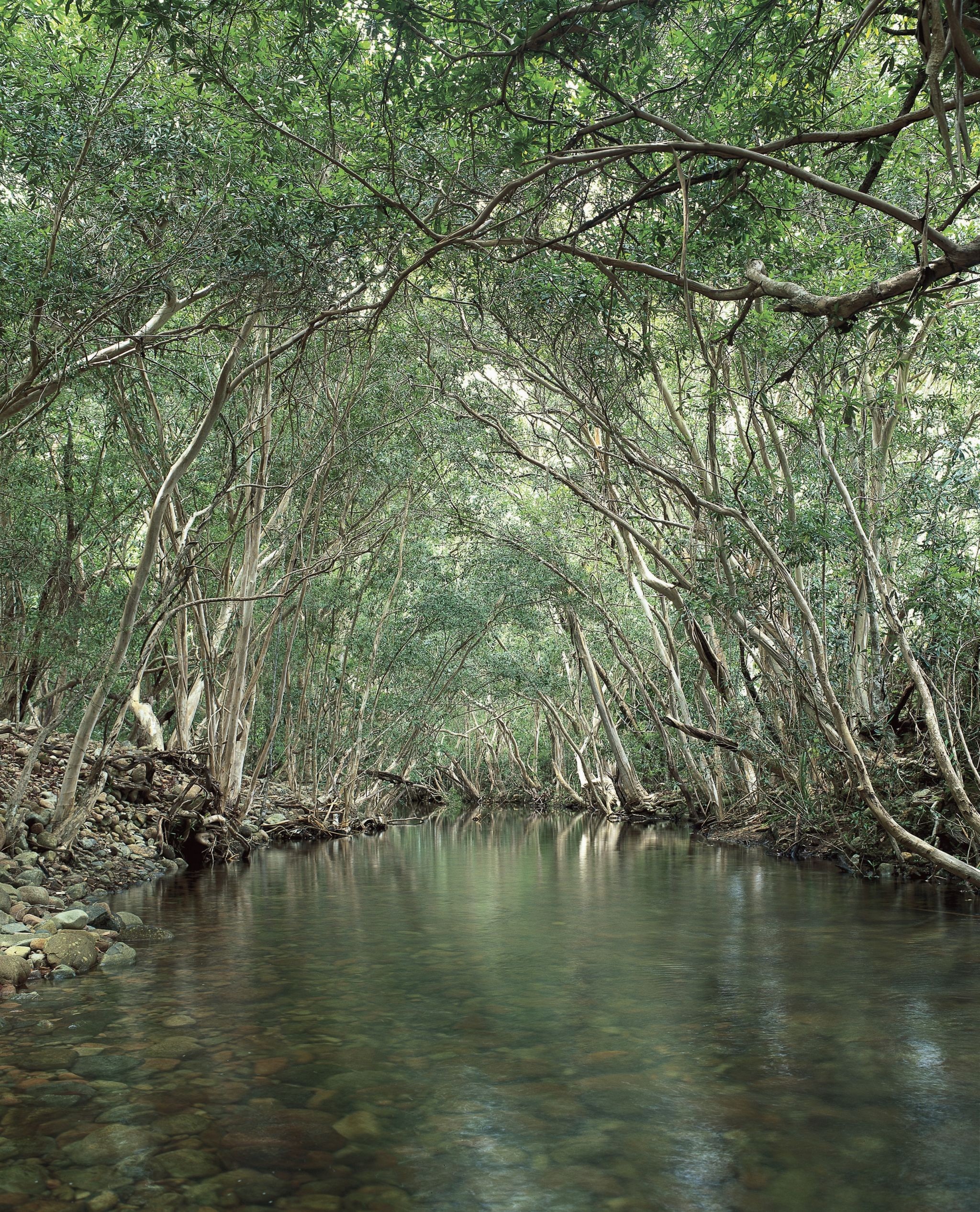
A creek running through Girringun National Park. Photo credit: Tourism and Events QLD
Bushfire preparation has been underway across Queensland’s protected areas, with Cardwell State Forest among the locations included in a record year of hazard reduction burning.
Queensland Parks and Wildlife Service (QPWS) rangers treated 981,081 hectares through 546 planned burns during 2025–26, exceeding the previous statewide record set a year earlier.
Cardwell State Forest was among the locations included in the program, which aims to reduce fuel loads, improve the health of protected areas and lower bushfire risks to surrounding communities and properties.
The work comes as Queensland enters the 2026 bushfire risk period, with planned burning continuing across national parks and State forests when weather and other conditions allow.
QPWS Fire Services Director Susan Scott said rangers would continue undertaking planned burns where conditions were suitable.
“Every planned burn we deliver is contributing to a healthier environment and a more bushfire-resilient state, which is especially important as we enter the 2026 bushfire risk period,” Ms Scott said.
Cassowary Coast residents and visitors are encouraged to remain aware of local fire conditions throughout the bushfire risk period.
Those planning trips into national parks and State forests should also check QPWS Park Alerts beforehand, particularly while planned burning continues across Queensland.
Smoke, firefighters, aircraft and machinery may be seen in the vicinity of the following areas:
Persons with respiratory or other health problems should seek medical advice on mitigating the effects of smoke inhalation.
Publishers Indemnity. Any individual or entity that places advertising, supplies copy material, or submits editorial content to Life Publishing agrees and undertakes to ensure that all such material:- Does not infringe upon any copyright, trademark, or other intellectual property rights;- Is free from any content that could be considered defamatory, libelous, or slanderous;- Does not infringe upon any rights related to privacy or breach of confidence;- Contains no obscene, indecent, or otherwise unlawful material;- Complies fully with the Trade Practices Act and all other applicable laws, regulations, or statutes. Furthermore, by submitting or placing such material, these individuals or entities agree to indemnify and hold harmless the publisher, Life Publishing and Events Pty Ltd, and/or its agents from and against any and all investigations, claims, demands, liabilities, damages, costs, or judgments arising out of or in connection with the material provided. All material is believed to be accurate at the time of printing and remains the copyright of Life Publishing and Events Pty Ltd.
© 2026 Life Publishing Group Ltd.







.JPG)